Our activities include traditional services related to drone management, such as filming, photography, live broadcasts, inspections, consultations, training and detailed search of relevant locations.
This service that we provide allows you to evaluate your project activities in detail beforehand and effectively saves time in the organisational process. During the location scouting process the best potential location for drone filming/photography is found. Then, test shots are taken and potential camera positions, angles, lenses to be used, etc. are carefully planned. This allows you to fully understand important details in advance and plan where and what equipment could or should be used for your project.
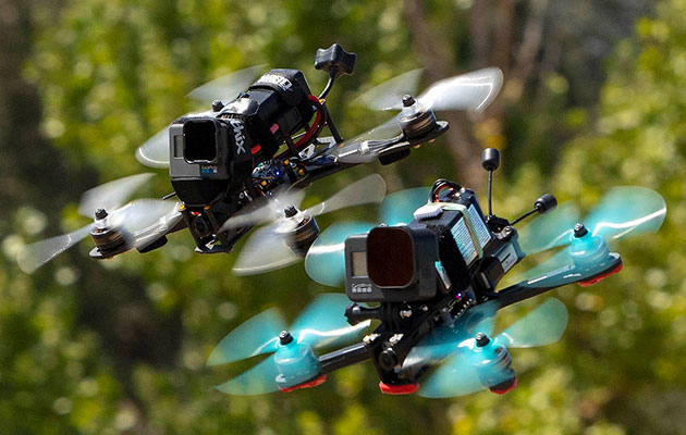
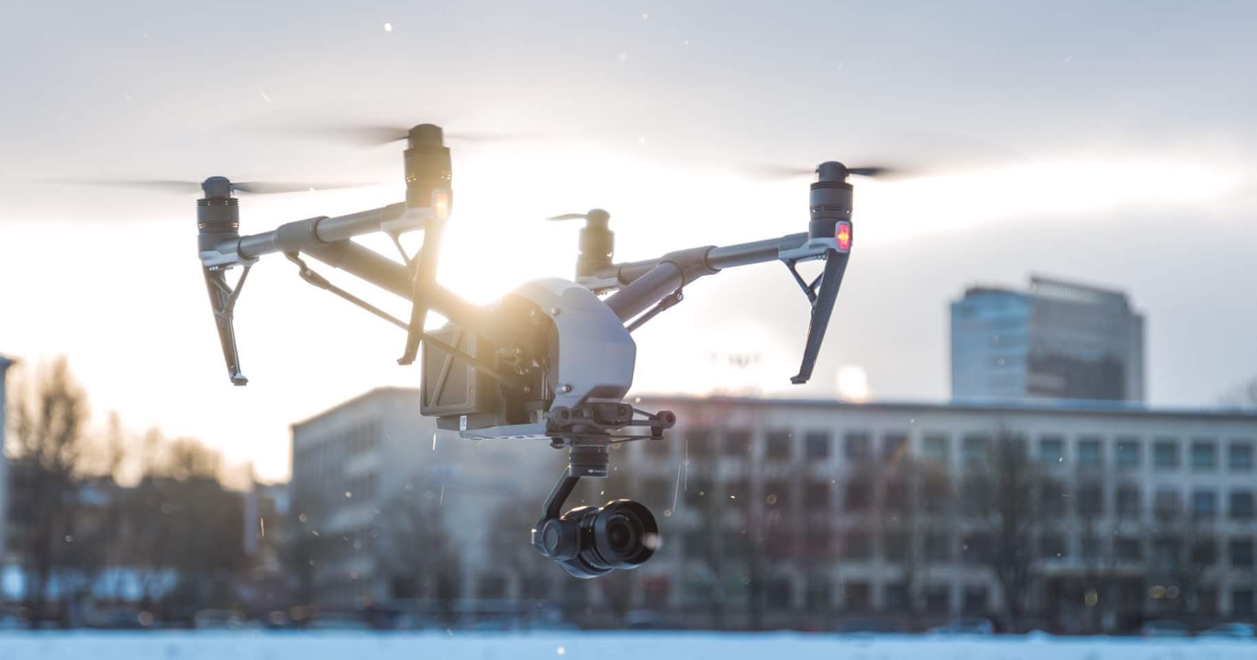
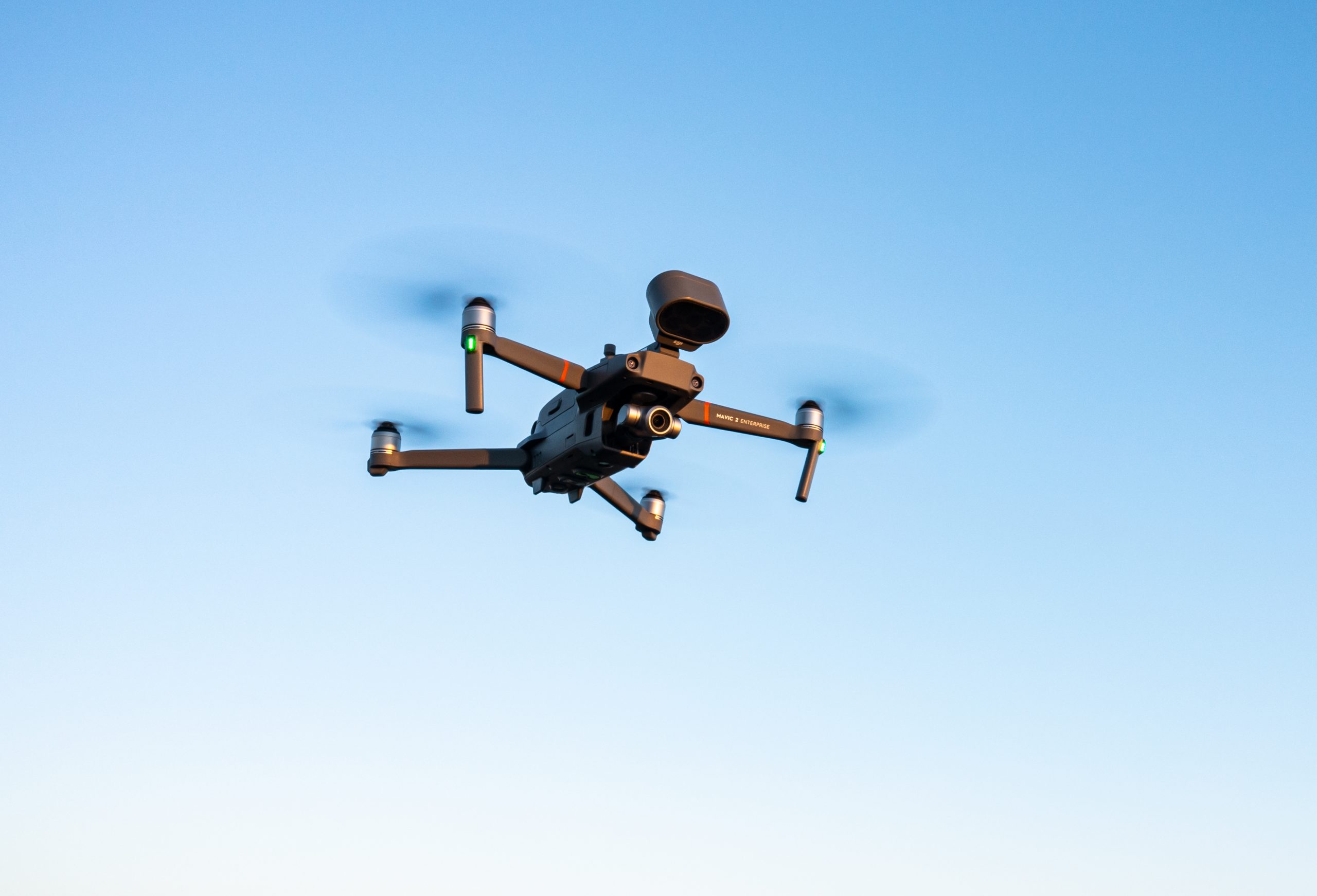
Our filming services offer a range of options, from single-operator drone shots with the Mavic 3 Cine for straightforward captures to multi-operator teams using advanced equipment like the Inspire 2 for complex shots. We also provide cutting-edge FPV drone filming with versatile camera movements. Choose the right service level for your specific project needs.
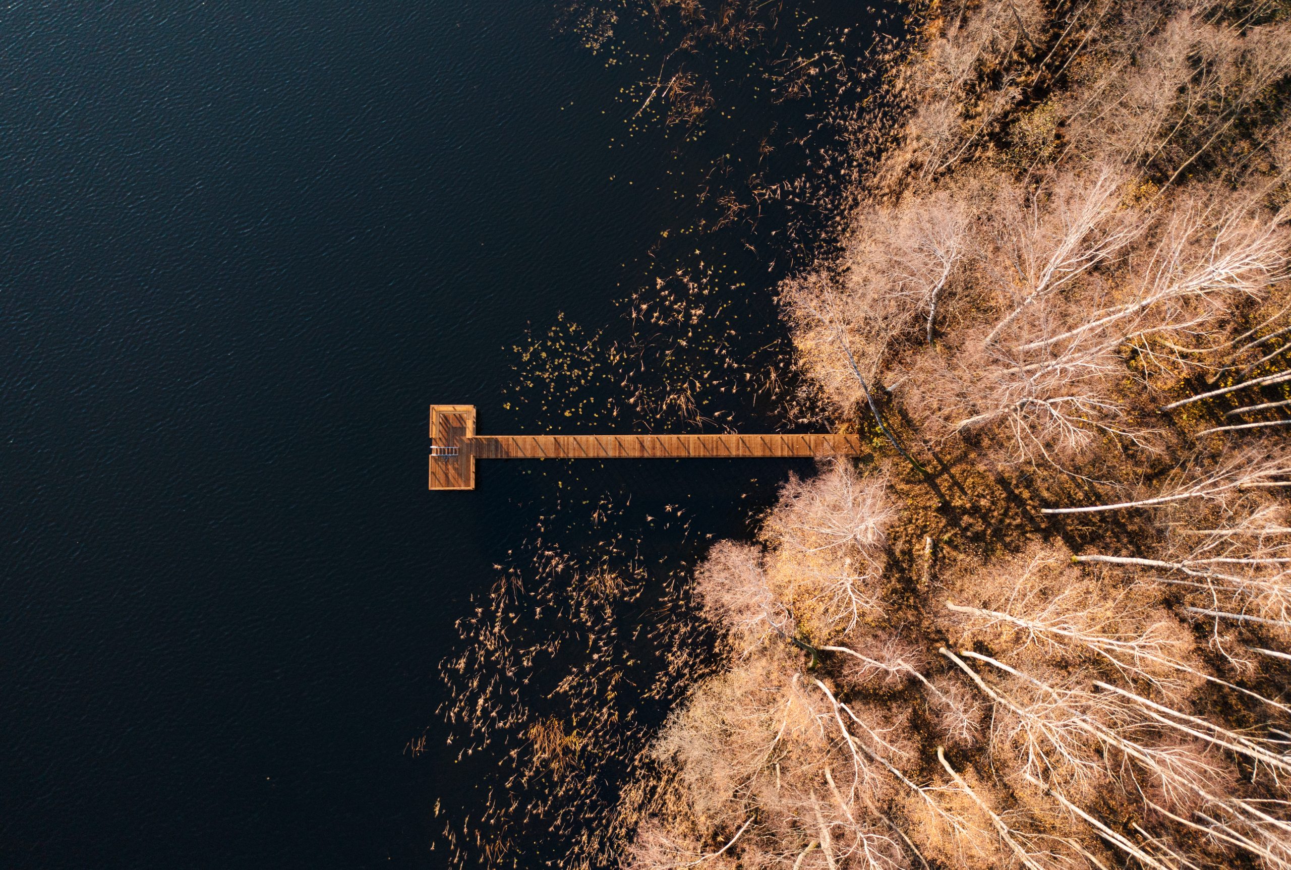
For those who want high-level standard, panoramic or 360-degree photographs of their required subject or location, we offer the benefits of our drones. Depending on your needs, we can give you either uncorrected photographs or processed photographs (we can implement additional elements). In both cases, the arrangement must be agreed in advance.
Footage retrieved with drones using its live streaming possibilities can bring visual projects to life. It is an additional option that allows you to change capturing plans more seamlessly and use the drone to film the desired image from completely different perspectives. It is a technological solution with an extremely significant advantage over ground-based cameras.
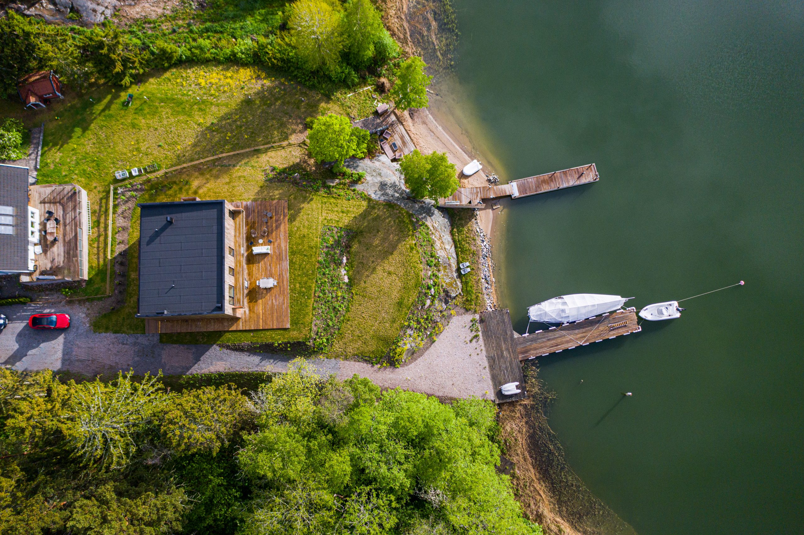
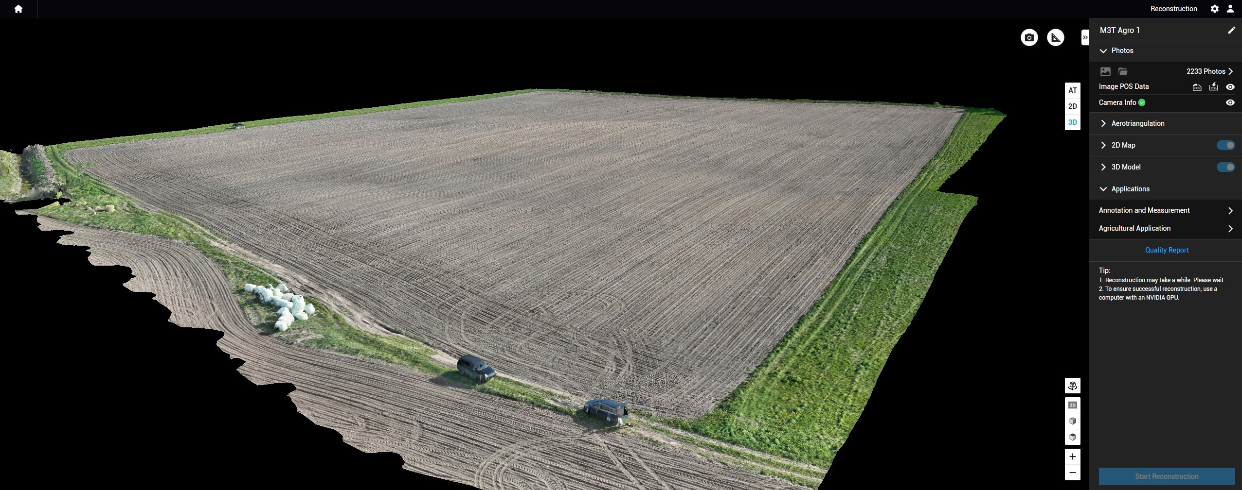
We offer the possibility to generate a 2D or 3D model of your wanted location. We can capture the material with a Phantom 4 RTK drone or an M300 RTK drone using a full-frame P1 camera. The main difference between these two drones is in the detail of the model. Images captured with the P1 camera can be zoomed in a huge number of times without any loss of quality. This allows programmed missions to be carried out from higher altitudes and much faster than with the Phantom 4 RTK.
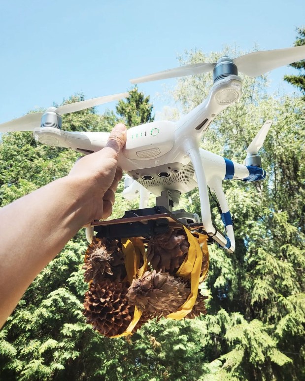
One of the unconventional uses of a drone is attaching, flying and dropping a load (no heavier than 1.5 kg) at your preferred location. This can be used for special occasions – to deliver a small gift, a surprise, or even to carry rings to a wedding ceremony.
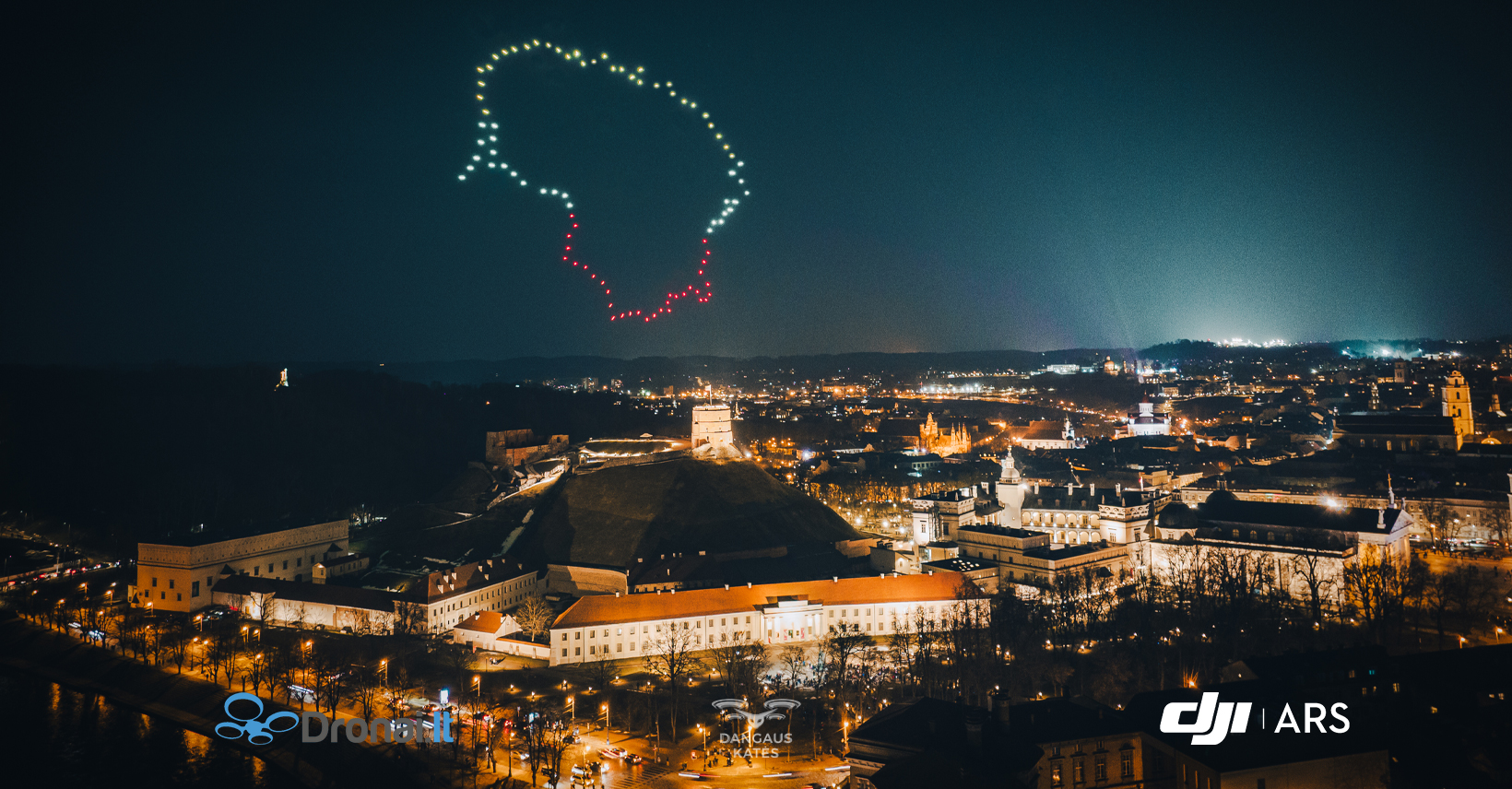
This is a non-standard, entertaining operation of using a swarm of programmed drones. Each drone is fitted with a LED light and coordinates, according to which they can move synchronously and perform certain shapes or animations at your preferred location. The Drone Light Show can be the highlight of a celebration, and will certainly make everyone look up to the sky.
This is the solution for high quality drone filming or photography possibilities, even in poor lighting conditions. A LED lamp is attached to the drone and can be used for both filming and searching for objects. One of the main advantages of a drone with LED lighting is the ability to conveniently adjust the light intensity, direction and beam.
A speaker can be attached to the drone and the desired audio streaming method can be selected. You can either stream the wanted audio record as many times as you want or record the audio from the remote. In this second case, sound will be streamed directly to the drone. This service can be used for various events and occasions to impress the audience with an unusual musical solution.
Land plot inspection by drones is an innovative service for the evaluation of your land assets
Do you need an accurate and efficient land inspection? Do you want to get the highest quality data about the condition of your property, but don’t want to incur high costs and waste of time? We offer you a great opportunity – land plot inspection with drones.
360 photos and videos are a great way to fully capture and reveal the desired area. You can also implement info graphics or the desired information into the material. This is a great way to show the place where the house planned to be built can stand, or to implement the 360 photo itself into a 3d modeling program so that you can see the real image from the housing model that will be seen after the house is built.
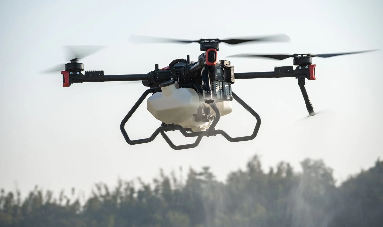
Spreading of fertilizers and seeds with the help of agrodrone XAG P100, feeding crops by spraying microelements or biological preparations from the air.